Takeoff „Army“ – north
Weather Station at Takeoff
Zlatibor Vojska
Basic Information
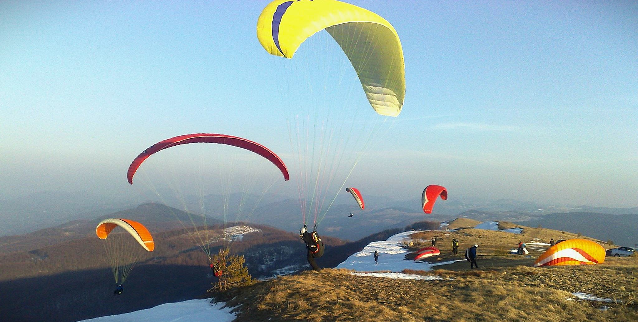
The Vojska launch site is located on Mount Zlatibor, near the peak of Čigota. Čigota is a gentle, rounded summit, typical of Zlatibor, with no steep cliffs. From the top, there are wide panoramic views of the surrounding mountains and plateaus. The terrain is suitable for training (including advanced training) and tandem flights.
Important Notices
Since this is a take-off site at a higher elevation, careful attention should be paid to wind direction and strength. In the afternoon hours, a late start to the day can quickly transition into active convective conditions. The gentle appearance of the terrain, due to its microclimate, often conceals demanding flying conditions, and a crosswind component at take-off is common. The northern slopes are steep and suitable for take-off towards the village of Rakovica. The southern and southwestern slopes are privately owned, and landing requires prior permission from the landowner.
Airspace
The launch site is located in Class G airspace. The paragliding zone may be subject to temporary activation (NOTAM/AUP), and prior airspace checks are mandatory ZSA – KL Kraljevo. The flying site is managed by “Zlatiborci”, the following clubs: Jedriličarski klub „Avis„, SUVS Zlatibor i Paraglajding Zlatibor. Additional information about current conditions and activities can be obtained from them. There is a military facility near the take-off site which should be avoided—do not overfly it at low altitude.
Location and Access
Access to the take-off site is possible by car via an asphalt road. The approach is technically easy. There are also other take-off sites accessible by car, including Volovi for southwest wind, which belongs to ZSA Čigota.
The Farma take-off site is used for training, but it is located on land leased by a private concessionaire. The Čuker take-off site is accessible only on foot.
Elevation
The launch site is located on a mountain at an altitude of approximately 1,400 m above sea level. The terrain is spacious and grassy with a gentle slope, resembling an open alpine meadow. Due to the mild gradient of the launch area, in weak conditions an active run-up and proper timing are required.
In good and stable conditions, landing on the summit is possible and is often performed. However, landings are mostly carried out on meadows below the slope. Flat and spacious landing fields are located in the direction of ‘Farma’in the direction of slightly lower terrain, where the wind is more uniform.
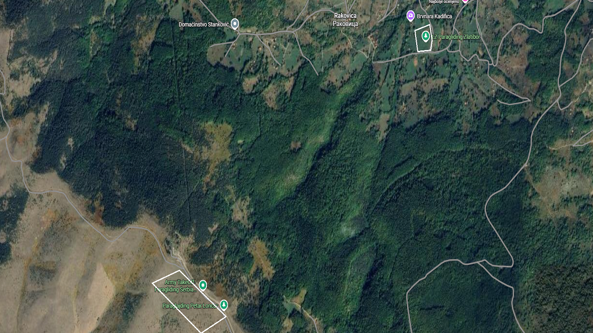
Launch and Landing Sites on the Map
- Takeoff: 43.645478, 19.776067
- Landing: 43.658477, 19.795767